(Q346657)
بيانات
Wikidata item الإنجليزية
instance of الإنجليزية
applies to jurisdiction الإنجليزية
country الإنجليزية
coordinates of westernmost point الإنجليزية
31°0'2.2"N, 85°0'6.1"W
located in/on physical feature الإنجليزية
Chattahoochee River الإنجليزية
١ مراجع
Imported from Wikidata item الإنجليزية
coordinates of easternmost point الإنجليزية
30°42'33.1"N, 81°27'11.9"W
located in/on physical feature الإنجليزية
١ مراجع
Imported from Wikidata item الإنجليزية
Google Knowledge Graph ID الإنجليزية
Commons category الإنجليزية
image الإنجليزية
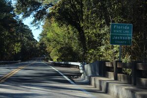
Florida State Road 2 eastern terminus, Jackson County.jpg
٥٬١٨٤ × ٣٬٤٥٦؛ ٦٫٧٦ ميجابايت
٥٬١٨٤ × ٣٬٤٥٦؛ ٦٫٧٦ ميجابايت
١ مراجع
Imported from Wikidata item الإنجليزية
BabelNet ID الإنجليزية
coordinate location الإنجليزية
30°44'39"N, 81°39'15"W
applies to part الإنجليزية
Interstate 95 (Florida) الإنجليزية
Interstate 95 (Georgia) الإنجليزية
١ مراجع
Imported from Wikidata item الإنجليزية
main regulatory text الإنجليزية
Official Code of Georgia Annotated الإنجليزية
section, verse, paragraph, or clause الإنجليزية
50-2-5
legal citation of this text الإنجليزية
OCGA § 50-2-5
applies to jurisdiction الإنجليزية
١ مراجع
Imported from Wikidata item الإنجليزية
